 PLN
PLN BRL
BRL CZK
CZK EUR
EUR EUR
EUR EUR
EUR EUR
EUR GBP
GBP RUB
RUB SEK
SEK USD
USD


Obraz na płótnie
Nasze obrazy są drukowane na wysokiej jakości płótnie artystycznym CANVAS, które naciągnięte jest na solidne sosnowe krosna. Boczne krawędzie płótna są zadrukowane. Obraz jest gotowy do zawieszenia na ścianie od razu po rozpakowaniu.
- ✓ Płótno artystyczne CANVAS
- ✓ Wysoka jakość
- ✓ Sosnowa rama wewnętrzna
Gramatura płótna: 300 g/m2
Dostępne układy: Obrazy jedno lub wieloczęściowe (składające się z dwóch, trzech, czterech lub pięciu części)
Sposób czyszczenia: wilgotną szmatką
W zestawie: obraz (zadrukowane płótno naciągnięte na ramę), zawieszki i gwoździe

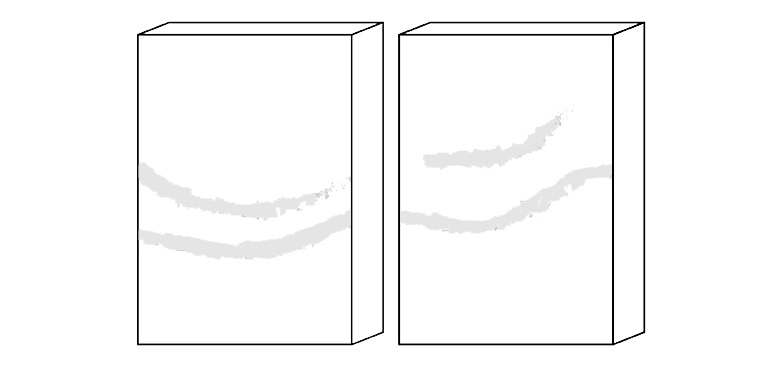
Obraz w ramie
Nasze obrazy są drukowane na wysokiej jakości płótnie artystycznym CANVAS, które naciągnięte jest na solidne sosnowe krosna. W tej wersji, obraz zostaje dodatkowo oprawiony w drewnianą ramę zewnętrzną w dwóch kolorach do wyboru (czarny lub brązowy). Ramy zewnętrzne są dostępne w określonych rozmiarach. Obraz jest gotowy do powieszenia na ścianie od razu po otrzymaniu.
- ✓ Płótno artystyczne CANVAS
- ✓ Zadrukowane boczne krawędzie
- ✓ Sosnowa rama wewnętrzna
Gramatura płótna: 300 g/m2
Dostępne dodatki: Drewniane ramy zewnętrzne w dwóch kolorach do wyboru
Sposób czyszczenia: Materiał można przecierać wilgotną ściereczką
W zestawie: obraz (zadrukowane płótno naciągnięte na krosno), drewniana rama zewnętrzna, zawieszki i gwoździe
Dwuczęściowy obraz na płótnie
Nasze obrazy są drukowane na wysokiej jakości płótnie artystycznym CANVAS, które naciągnięta jest na solidne sosnowe krosna. Obraz jest gotowy do zawieszenia na ścianie od razu po rozpakowaniu.
- ✓ Dwie części
- ✓ Płótno artystyczne CANVAS
- ✓ Zadrukowane boczne krawędzie
- ✓ Sosnowa rama wewnętrzna
Gramatura płótna: 300 g/m2
Sposób czyszczenia: wilgotną szmatką
W zestawie: obraz (zadrukowane płótno naciągnięte na ramę), zawieszki i gwoździe
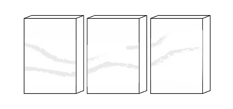
Trzyczęściowy obraz na płótnie
Nasze obrazy są drukowane na wysokiej jakości płótnie artystycznym CANVAS, które naciągnięte jest na solidne sosnowe krosna. Obraz jest gotowy do zawieszenia na ścianie od razu po rozpakowaniu.
- ✓ Trzy części
- ✓ Płótno artystyczne CANVAS
- ✓ Zadrukowane boczne krawędzie
- ✓ Sosnowa rama wewnętrzna
Gramatura płótna: 300 g/m2
Sposób czyszczenia: wilgotną szmatką
W zestawie: obraz (zadrukowane płótno naciągnięte na ramę), zawieszki i gwoździe
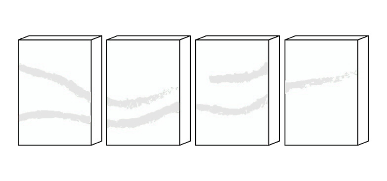
Czteroczęściowy obraz na płótnie
Nasze obrazy są drukowane na wysokiej jakości płótnie artystycznym CANVAS, które naciągnięte jest na solidne sosnowe krosna. Obraz jest gotowy do zawieszenia na ścianie od razu po rozpakowaniu.
- ✓ Cztery części
- ✓ Płótno artystyczne CANVAS
- ✓ Zadrukowane boczne krawędzie
- ✓ Sosnowa rama wewnętrzna
Gramatura płótna: 300 g/m2
Sposób czyszczenia: wilgotną szmatką
W zestawie: obraz (zadrukowane płótno naciągnięte na ramę), zawieszki i gwoździe
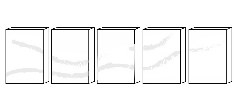
Pięcioczęściowy obraz na płótnie
Nasze obrazy są drukowane na wysokiej jakości płótnie artystycznym CANVAS, które naciągnięte jest na solidne sosnowe krosna. Obraz jest gotowy do zawieszenia na ścianie od razu po rozpakowaniu.
- ✓ Pięć części
- ✓ Płótno artystyczne CANVAS
- ✓ Zadrukowane boczne krawędzie
- ✓ Sosnowa rama wewnętrzna
Gramatura płótna: 300 g/m2
Sposób czyszczenia: wilgotną szmatką
W zestawie: obraz (zadrukowane płótno naciągnięte na ramę), zawieszki i gwoździe


